
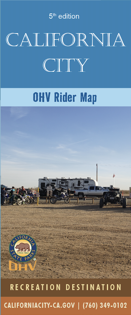
There are over 1,800 miles of City combination use roads/dirt trails and 33.5 miles of designated OHV trails in California City to include the OHV Trail into the City's Business District. The focus point was BLM Trail R5 at Bucknell/Chrysler Drive. Two OHV routes were designed from that point to Borax Bill Park, CC10 and CC5. CC10 is a route that follows non-maintained City streets (11 miles). CC5 is a challenging route through City easements (8.5 miles). CC5 merges into CC10 at Borax Bill Park, and continues on to the Business District (14 miles). The attached map reflects the main roadways into California City, other OHV riding areas, restricted areas for OHV operation, and designated OHV trails.

Get the California Riding Trails Map by Clicking Here or Download from the Avenza Maps app Here.
View our Recreation Guide Here
View our Visitor Guide Here